Scenic Drives
From sunsets on saltwater to rugged mountain views, Bellingham and Whatcom County are home to three iconic highways, all of which are officially designated as scenic drives: Chuckanut Drive, Mount Baker Highway, and North Cascades Highway.
While truly beautiful to experience, visitors should check for any travel advisories and respect all signage when driving on these byways. Winding roads, blind turns, wildlife, and inclement weather can all make traveling on these highways more dangerous throughout the seasons.
Find all you need to know about planning a visit on these scenic drives, including must see spots to stop at along the way!

Road trip along lakes, forests, and bays. Enjoy picturesque views of the San Juan Islands, Mt. Baker, and the North Cascades.
Start in Bellingham, and see where each of these drives take you.
Take a Road Trip!

Explore the Mt. Baker Scenic Byway: Video
Join Scenic Washington on a road trip along the Mt. Baker Highway.

Explore the Chuckanut Drive Scenic Byway: Video
Visualize a road trip on Chuckanut Drive with help from Scenic Washington.
Learn More
Mount Baker Highway is State Route 542, stretching from Bellingham east toward snow-capped Mt. Baker.
Within the first five miles, Bellingham’s urban feel gives way to rolling farmland and alpine vistas. The highway was built gradually in the late 1800s as an access road for the lucrative logging industry and its rich history is well documented. Between mileposts 10 and 34, the road passes through the close-knit communities of Nugent’s Corner, Deming, Kendall, Maple Falls, and Glacier. [Also known as the Mount Baker Foothills.]
At Glacier, the road passes into the Mount Baker-Snoqualmie National Forest and is a designated National Forest Scenic Byway. Towering evergreens and leaf maples line the route, with skirts of the Nooksack River peeking out at several points.
In the summer months, the highway ends at milepost 58 in a parking lot, which gives visitors access to Artist Point and its spectacular views of Mt. Baker’s 10,781-foot peak. In the winter months, the road ends at milepost 55, which is the Mount Baker Ski Area - holder of the world record for snowfall in a single season and, believed to be, the birthplace of snowboarding.
Make your road trip an overnight with these lodging options near Mt. Baker.
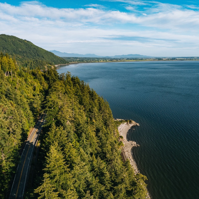
Hugging the shoreline just south of Bellingham, Chuckanut Drive is shown on maps as WA State Highway 11. The route begins at I-5 exit 231 in Burlington and continues 20 miles north to Bellingham.
This is a historic entry into Whatcom County. Completed in 1896, Chuckanut Drive was the first land access to the Bellingham Bay community of Fairhaven.
At milepost 14, Chuckanut Drive passes Larrabee State Park, the first designated State Park in Washington. Encompassing 2,000+ acres, Larrabee is a favorite among locals and visitors, offering access to the beach, tidepools, and trails.
Chuckanut Drive ends in Fairhaven Village, known for its Victorian-era red-brick architecture, quaint shops, and delicious restaurants.
Discover six can't-miss stops on Chuckanut Drive.
As the North Cascades Scenic Byway loops between massive peaks and along lakes colored turquoise by glacial silt, you’ll see why these mountains are called “the American Alps.”
Many argue that the North Cascades Highway is the most scenic in Washington State. The route passes through Whatcom County at its northern point, with stunning views of Diablo Lake, Ross Lake, and hundreds of rugged peaks.
Break up your drive by exploring the North Cascades Institute's Environmental Learning Center or, better yet, stay the night at their accommodations on the shores of stunning Diablo Lake.
While on the North Cascades Highway, consider taking it even further! This highway is part of the Cascade Loop Byway - a 440-mile love letter to Washington praising her natural beauty and charisma.
The route contains more of the state’s designated scenic byways, including Stevens Pass Greenway and the Whidbey Scenic Isle Way.


